FAQ
FAQ Drone Patrol
What is the autonomy of your drones?
Depending on the mission and the drone used, a battery’s autonomy will be between 30 and 40 minutes if weather conditions are favorable.
Additionally, we always plan for multiple batteries based on the estimated flight time for each mission. Necessary rotations to complete the mission can always be carried out.
What is the average duration of an inspection?
The inspection time depends on the complexity of the site and the type of data required. Generally, a drone inspection can be completed in a few hours for standards missions. We will provide a precise estimation during mission planning.
What types of inspections do you offer?
We offer inspections involving photos, videos, or thermal imaging. We do not perform 2D mapping, photogrammetry. We do not have neither LIDAR equipment.
Our inspections can be carried out for:
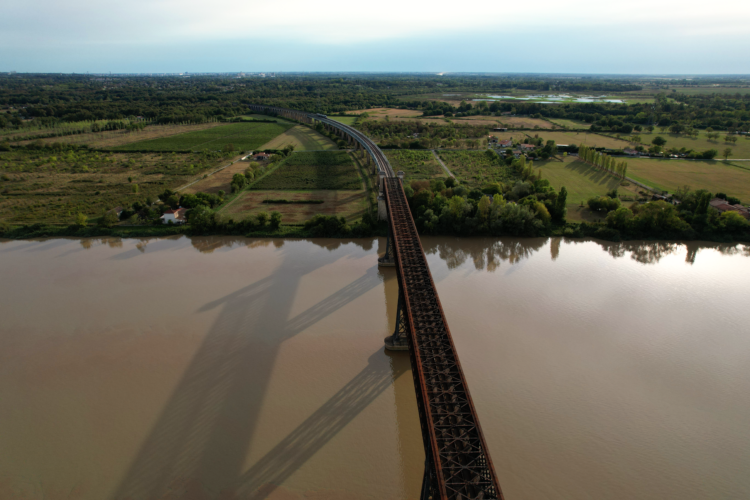
- Buildings: walls, roofs, bridges, commercial or residential buildings.
- Ships: pleasure boats or professional vessels.
- Professional or industrial sites: wind turbines, solar power plants, various infrastructures, construction sites, port facilities.
- Agricultural areas: crop monitoring.
- Environmental inspections: monitoring inaccessible areas or assessing damage after natural disasters.
What are the advantages of using a drone?
The main advantages of using a drone are:
- Increased safety: avoids sending people into dangerous or hard-to-reach areas.
- Reduced costs: less expensive than traditional methods like scaffolding or helicopters.
- Quick execution: faster inspections and real-time results, enabling immediate decision-making.
- Precise data: high-definition cameras and specific sensors provide accurate and detailed data.


What sensors are installed on your drones?
The first drone we use, the DJI Air 2S, is equipped with:
- Sensor: 1-inch CMOS
- Effective pixels: 20MP
- Lens: FOV: 88° 35 mm equivalent: 22 mm Aperture: f/2.8
- Maximum image size: 5472 × 3648 pixels
- Electronic shutter speed: 1/8000 s – 8 s
- Maximum frame rate: 120 fps
- Photo format: JPEG/DNG (RAW)
- Video format : MP4/MOV (H.264/MPEG-4 AVC, H.265/HEVC)
The second drone we use, the DJI Mavic 3T, is equipped with three different sensors:
Video camera :
- Sensor: 1/2″ CMOS
- Effective pixels: 48 MP
- Lens: FOV 84° equivalent: 24 mm aperture: f/2.8
- Maximum image size: 8000×6000
- Electronic shutter speed: 8 to 1/8000 s
- Maximum frame rate: 30 fps
- Photo format: JPEG/DNG (RAW)
- Video format : MP4/MOV (H.264/MPEG-4 AVC, H.265/HEVC)
Telecamera :
- Sensor: 1/2″ CMOS
- Effective pixels: 12 MP Lens: FOV 15° equivalent: 162 mm aperture: f/4.4
- Maximum image size: 4000×3000
- Electronic shutter speed: 8 to 1/8000 s
- Video definition: 4k => 3840x 2160 at 30 fps
- Maximum frame rate: 30 fps
- Photo format: JPEG/DNG (RAW)
- Video format : MP4/MOV (H.264/MPEG-4 AVC)
Thermal camera :
- Sensor: Uncooled VOx microbolometer
- Pixel pitch: 12μm
- Refresh rate: 30Hz
- Lens: DFOV: 61° equivalent: 40 mm aperture: f/1.0
- Sensitivity: ≤ 50 mk @ F1.1
- Temperature range: -20°C to 150°C (high gain) or 0°C to 500°C (low gain)
- Single image size: 640×512 at 30 fps
- Infrared wavelength: 8 to 14 µm
- Photo format: Jpeg or R-Jpeg
- Photo format: JPEG/DNG (RAW)
- Video format : MP4/MOV (H.264/MPEG-4 AVC)
Are your services compliant with regulations?
Yes, our drone pilot is certified and comply with current regulations for professional drone inspections. We also ensure compliance with local airspace rules and have the necessary authorizations for each mission.
What geographical area do you operate in?
We offer our drone inspection services regionally and can intervene quickly throughout the South-West of France.
How are inspection reports delivered?
After each mission, we provide a comprehensive inspection report that includes:
- High-definition images and videos.
- Thermal or multispectral data if required.
- A detailed summary of technical observations.
These reports can be delivered in digital format and accessed via a secure online platform.
Can your drones operate in difficult weather conditions?
Our drones are capable of performing missions in various weather conditions, even challenging ones.
However, for safety and data quality reasons, extreme conditions (strong winds, heavy rain, freezing temperatures) may delay inspections. We will adjust the schedule according to the weather and keep you informed.
FAQ Drone Patrol
How do you ensure flight safety?
Safety is our priority. Our pilots are trained and certified according to strict civil aviation standards. Additionally, our drones are equipped with advanced navigation systems, such as GPS and anti-collision systems, to ensure safe flights in complex environments. We also conduct safety assessments before each mission.
How much does a drone inspection cost?
The cost of a drone inspection depends on several factors, including the size of the site, the type of data required, and the mission duration. We offer personalized quotes based on the specific needs of each project.
Do you offer regular monitoring services?
Yes, in addition to one-time inspections, we offer regular maintenance contracts for drone monitoring, tailored to the needs of infrastructures that require periodic or continuous surveillance, such as wind turbines, solar power plants, or industrial buildings.
Who can use your services?
Both individuals and professionals can use our services, as our drones allow us to be versatile.
FAQ Drone Patrol

